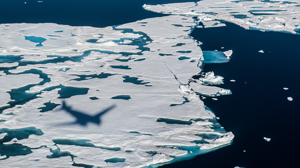
Since satellites first measured Arctic sea ice in the 1980s, scientists have noticed a sharp decrease in its extent due to global warming. The trend is clear: Arctic summer sea ice is now shrinking at a rate of 13% per decade, but our picture of the magnitude of sea ice cover decline is not complete.


So far, satellites have only been able to measure the thickness of Arctic sea ice between October and April. This is because during the summer the meltwater pools that form on top of the ice confuse the satellites – they can’t tell what the ocean is and what the melt pond is. .
But that shortcoming changed recently when researchers reported that they had found a way around the problem by training artificial intelligence (AI) to tell the difference between the ocean and melting ice. Their new method, a machine learning technique described in Naturecould improve navigational safety as well as predictions of when the Arctic will experience its first ice-free summer.
New AI method
Scientists have traditionally estimated the thickness of sea ice during the summer using buoys and specially equipped aircraft. Satellite measurements, however, are much more precise and holistic than these methods.
“A lot happens during the arctic summer, and fast. With thickness measurements throughout the summer, we can finally begin to understand the processes of ice melting.
Jack Landy, associate professor of Earth observation at the University of Tromsø – Arctic University of Norway, led the new research. “It was a high risk project,” said Landy, who has been developing the project for 5 years. “Sometimes we didn’t know if it was possible.”
Landy and his team applied a machine learning technique to satellite data from the European Space Agency’s CryoSat-2 mission. They also built a model of the satellite’s radar system to test whether CryoSat-2 accurately measured ice thickness. The model would allow them to make adjustments if necessary.
The hard work of Landy and his almost dozen collaborators was worth it, he said: “A lot happens during the Arctic summer, and fast. With thickness measurements throughout the summer, we can finally begin to understand the processes of ice melting.
Improved sea ice forecasts
The new summer dataset brings clear benefits to the shipping industry, Landy said. A key observation was that sea ice thickness in early summer was a good indicator of ice extent at its minimum in September. This correlation boils down to the simple fact that thinner sea ice is more likely to melt and break up – a pattern that had been observed in previous modeling studies but lacked supporting observational data from satellites. .
“Communities depend on thick ice in the summer for transportation, but it’s unreliable when it’s thinned. We have sounded the alarm bells, but with no satellite observations to back this up, it has never been taken so seriously.
Verifying the relationship between late spring and early fall sea ice, Landy said, could improve the accuracy of sea ice forecasts for navigation. The Norwegian Meteorological Institute, for example, currently publishes sea ice forecasts, but due to data availability the entire Arctic is not covered in the reports.
The new study could also pave the way for better long-term climate predictions. “Better thickness estimates will help us better quantify how quickly we might see the transition to ice-free summers in the Arctic,” said study co-author Julienne Stroeve, professor of polar observation. at University College London.


The new work supports many predictions made by climate models, said Cecilia Bitz, a professor of atmospheric sciences at the University of Washington who was not involved in the study. “It shows we’re on the right track – the patterns we’ve seen in our models are real.”
In addition to navigation and science, the new data is also valuable for Arctic communities. “Communities depend on thick ice in the summer for transportation,” Bitz said, “but it’s unreliable when it’s thinned. We have sounded the alarm bells, but with no satellite observations to back this up, it has never been taken so seriously.
Satellite collaborations
“The thickness of Arctic sea ice in summer is one of the biggest unknowns in my field of research,” said Rachel Tilling, sea ice scientist at the University of Maryland and the Goddard Space Flight Center in NASA, which did not participate in the study.
Tilling said the new method was a key development for scientists studying trends in sea ice change.
Tilling works on NASA’s ICESat-2 satellite mission, but previously studied CryoSat-2 data for her doctorate. Both missions use the same altimeter-based principle to measure ice thickness, but CryoSat-2 looks for reflections of radar pulses off the ice surface, while ICESat-2 sends laser pulses.
“ICESat-2’s resolution means we can detect individual melt pools, so we’re doing a lot of work to understand how [the ponds] affect our signal and make our summer sea ice thickness [measurements] as accurate as possible,” Tilling said. “The two assignments complement each other – there are many exciting opportunities for collaboration.”
—Erin Martin Jones (@Erin_M_J), science writer
Quote: Martin-Jones, E. (2022), Satellites get first full-year view of Arctic sea ice thickness, Eos, 103, https://doi.org/10.1029/2022EO220501. Posted October 20, 2022.
Text © 2022. The authors. CC BY-NC-ND 3.0
Unless otherwise stated, images are subject to copyright. Any reuse without the express permission of the copyright holder is prohibited.
#Satellites #fullyear #view #Arctic #sea #ice #thickness #Eos